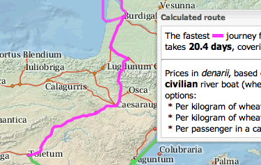
Google Maps for ancient Rome
When a third century traveller needed to get from Genoa to Rome, what was the fastest route? How about the cheapest? Scholars at Stanford have created a tool that answers such questions visually — ORBIS: The Stanford Geospatial Network Model of the Roman World. The video below explains how the tool works.
I calculated a January route and discovered that a passenger in a fast carriage would have taken nearly 27 days to get from Toletum (Toledo, Spain) to Londinium (London, England). In June the trip would have been a week shorter and considerably cheaper.
This project is an excellent example of digital humanities research. The model features 751 sites and the data include factors like prevailing winds and water currents, the cost of shipping freight by land or sea, and the distance different parties could travel in a day. Not only can you generate a route on a map, but the data can also be exported for viewing in Google Earth.
The website provides thorough background material on how the project was built, how to use the map, and how the tool has been applied in scholarly work. You can also read a paper in PDF format.


Trackbacks